Sunday November 5th 2023 - Little Pine Lake Trail - Little Pine State Park PA (Near Waterville) - 6.6 miles, about 570 foot elevation gain
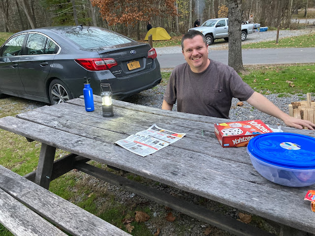
Our friend Fred drove down from NY to join us at our camping cottage at Little Pine State Park. We walked directly from our cabin to the dam which impounds Little Pine Creek to form Little Pine Lake. This dam was built in 1950 and is one of a number of dams along this watershed which protect cities like Williamsport from flooding. Interestingly, this creek is a tributary of Pine Creek which cuts a massive, and well known gorge through northern PA. We did a backpacking trip along Pine Creek a few years ago. The state park site was originally the site of a CCC camp but it doesn't sound like the state park as we know it was necessarily CCC built. We chose to walk the lake front trail but Little Pine State Park is on the Mid-State Trail and there are some epic long distance hikes that could include the park in their itinerary. The entire area around the park, including the very old and rustic bridge along the access road, is pretty remote and not near any big towns though there are a handful of seasonal and year-round businesses nearby.
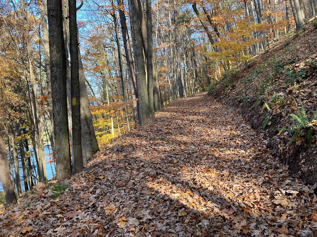
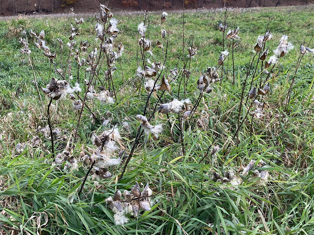
The trail actually starts off scaling the dam at a steep angle. Once across the dam the trail paralleled the lake which, at 45 acres, isn't very large. The rest of the way it was following the creek in its presumably more or less natural, pre-dam, path. I was surprised how high above the water we were for most of the 'balloon string' part of the trail. The balloon portion took a nerve-wrackingly steep and narrow path down to the level of the flood plain and then followed a broad mowed path, mostly surrounded by acres of milk weed. I don't know what milk weed is, it really looks like cotton to me with little white poofs of cottony material at the top. We saw a lot of 'Wooly Bear' caterpillars along with a few grass hoppers and beetles along the mowed section. I was surprised how many cuvlerts and drainage controls the state has installed along the mowed portion of the trail which at first glance appears very 'unbuilt'. I'm guessing there are a lot of spots where the trail would wash out almost constantly without those management aids since the entire corridor is essentially overflow flood plain for the creek. The balloon portion of the trail is probably about 1.5 miles and soon we were ascending the ridge to walk back, looking down on the reflecting ponds and braided streams that eventually back up and become the lake. We were really impressed with the scenic beauty of the entire state park.


Comments
Post a Comment