Posts

Showing posts with the label State Park

October 30th 2026 - Fall travels to Chicago and Wisconsin - Chicago to Madison - 3.3 miles hike with minimal elevation gain

Image
Friday: One of the parts of our trip logistics that was harder to figure out was how to get to O’Hare to pick up the rental car.  Since I wanted to get the day started as early as possible, I would have preferred to take the L to O’Hare and head out from there.  Unfortunately we had too much luggage to realistically navigate public transit at rush hour.  In the end I decided to that the conventional answer was probably the best answer.  Take a Lyft to the airport with all our stuff.  The trip to the airport wasn’t terribly congested but it wasn’t fast either.  Thankfully we were dropped off right in front of the ‘multi-modal center’ which houses the rentals so we had just a short walk to get to the Enterprise office.  There was absolutely no line and we were in a brand new Kia Carnival with 54 miles on the odometer in just minutes. We had breakfast at a bagel shop/deli in Buffalo Grove IL.  We also tried to find a coin laundry but our initial att...

Thurdsay October 15th 2026 - Trails 9 and 10A at Letchwork State Park - Near Castile NY - 4.2 miles, 760 feet elevation gain

Image
With the move coming up, both my work and personal life has been full of extra tasks and interruptions.  I saw a day with decent looking weather coming up and I had no appointments on my calendar so I told by coworkers I wanted to take Thursday off since I have a fairly involved set of things to do for work Friday night and Saturday. Letchworth Start park is one of New York's premiere state parks and certainly the most well known park in this part of the state.  The majority of casual visitors come in through the main gated entrances to do the most well known gorge trail or a few other family friendly trails on that side of the Genessee river.  There is one other trailhead that I knew about that is outside the gated area that leads to some more primitive trails.  This trip was with my friend Fred who has lived in the area for 20+ years.  He went down 'River Road' near Mount Morris and there are about 10 different small trailheads scattered along that road which ...

Thursday March 5th 2026 - Scuppernong Trail - North Prairie WI - 4.9 miles, 280 feet elevation gain

Image
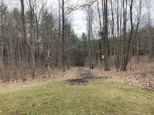
This hike was a good chance to get in some peaceful miles in before heading for urban fun in Madison and Chicago.  (there might be another post or two about the overall vacation this is part of).  Despite what Alltrails said, the trail was fairly wet and muddy in spots.  The scenery was pleasant enough but there wasn't really anything memorable about this hike overall.  Still, after flying all day the previous day then driving 2 hours from Chicago's airport in very dense fog starting at midnight, this quiet hike was enough to give us a peaceful reset after a busy 5 days visiting family in Oregon.

Friday October 24th, 2025 - Thacher State Park - Escarpment and Indian Ladder Trails - Near Albany NY - 2.8 miles about 380 feet elevation gain

Image
We were on our way to Vermont to celebrate Brian's parents birthdays and anniversary.  The Alltrails hike I downloaded was a longer out and back on the Escarpment trail which runs along the dramatic cliff edges that make up most of the trail network at Thacher State Park.  This is one of NY State's best state parks to visit in the fall and being a weekday there were very few people visiting when we were there. Part way along the Escarpment trail I saw the sign for Indian Ladder and an impressive set of stairs leading down the cliff from the edge where we were.  The stairs (which replaced the trail's namesake ladder) didn't lead all the way to the bottom of the valley but did go down to a shelf that exists 60 or so feet down the cliff edge.  In several spots there are waterfalls that trickle (or gush) off the escarpment edge.  More mysteriously to me, there are also places where reasonable amounts of water come flowing out from UNDER the escarpment.  I don't...

Saturday March 29th 2025 - Orange Trail - Mine Kill state park near Blenheim NY - 2.1 miles, 350 feet elevation gain

Image
I'm very late in writing this up.  It was a short hike that we managed to slip into a rainy March day.  The main destination for the day was actually the Blenheim-Gilboa Power Station .  Being almost into the Catskills, this was a much longer than usual drive for a day trip but it was perfect for filling up a rainy cool day. This was nice, well developed state park and it was pretty much just us there on this day.  The power station was also deserted and we got a personal impromptu tour with a very charismatic and knowledgeable docent.  

Monday/Tuesday March 3/4 2025 -Tennessee road trip days 5/6 - Savage Gulf State Park near Beersheba Springs TN - 1 hike, 7.3 miles and 870 feet elevation gain

Image
Monday morning we packed up from the state park cabin and had breakfast and did laundry and had breakfast at a charming cafe in Camden TN.  The rest of the day was spent having fun and getting to Nashville in the evening.  We had a really adventurous dinner at Inchin’s Bamboo pan-Asian cafe near our hotel. Savage Gulf (or as I more often think of it, the Stone Door) is an amazing area in SE Tennessee where the elevated Cumberland Plateau gives way to a deep river valley.  With our friend from Vermont not joining us on this trip we’ve juggled our to-do list to fit our solo trip.  This hike would have otherwise probably happened the day after we left Memphis but going as a day trip from Nashville meant going when there were only a few cars in the parking lot instead of weekend crowds. The drive there took us out along US-70S, much of which is an expressway now.  I don’t remember the route I used to take but this was a different way to go and it was nice seeing t...

Sunday March 2 2025 -Tennessee road trip day 4 - Nathan Bedford Forest State Park near Camden TN - 1 hike, 6.9 miles and 710 feet elevation gain

Image
We joined our friend John for breakfast at Cracker Barrel in Dickson TN.  Then we headed to Montgomery Bell State Park which is very near there.  I had never entered the park from the south end before and was surprised how long the road going through the park is.  We parked kind of randomly at one of the trail crossings and headed out.  Like home, it's still winter here and there are almost no leaves on the trees. The temperature was a brisk 37 and didn't go up more than a few degrees over the course of our long walk. The trail system at Montgomery Bell has changed over the years and the parts we walked on this trip didn't seem familiar at all.  The best aspects of the hike were the water features which included a few streams and at least 2 large ponds.  At one point we ended up in a group camping area and the trail was close but at the bottom of a substantial knob.  We worked our way down the hill gradually but then realized there was a stream between...