Monday January 16th 2023 - Hemlock/Canadice lakes connector trail - Near Hemlock NY - 5.2 miles, about 900 feet of elevation gain
Where to start this story... This hike starts at a gorgeous overlook right off of NY-15A. The Nature Conservancy built 'Rob's Trail' a few years ago and it leads from the trailhead down hundreds of feet to the lake level of Hemlock lake. We've done the Hemlock Lake hike about 3 times, once with our friend Gene. We even tried doing this connector trail one other time but it was a very hot and humid day and to be honest, my mood was so awful that I should have just stayed home that day.
Originally we were going to head relatively far from home for a 6-mile-long hike with modest elevation gain. Brian suggested we revisit this lake to lake trail closer to home which was a good idea since we spent plenty of time in the car Saturday. The first quarter mile of the trail is shared with the Hemlock lake trail (called Rob's trail). Then there is a split and the Canadice Lake trail heads back towards and eventually crosses NY-15A before going down towards Canadice lake itself. What is funny is that both Brian and I naively thought that Canadice lake would somehow be a short easy stroll down from the road. This doesn't really make sense because we know from experience that Hemlock lake is hundreds of feet down a steep unrelenting trail and as far as I know all the Finger Lakes are at about the same elevation.
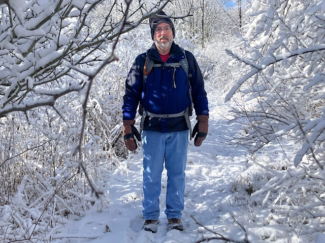
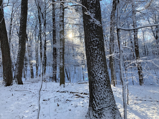
The first mile of the trail is an interesting mix of gentle downhill (the same for Hemlock or Canadice lakes from that trailhead) and then the Canadice Lake trail branches off. There is a sign at the junction that says Canadice Lake is 1.75 miles away which sounds great. There is less foot traffic on the connector trail so it was a little snowier and crunchier. Once it crosses over to the other side of NY-15A it transforms from densely wooded to more scrubby fiields for a while. There were a lot of pretty wintery looking trees and a little more exposure to the sun and sky but the trail is mostly flat and wide and parts of it were a mix of frozen and wet. At another signed junction the sign annoyingly only tells you which way the parking lot is. The reality is that either other direction you take gets you to Canadice lake but it doesn't tell you that nor which trail is shorter. Shortly after that sign the trail changed back to more woodsy and MUCH steeper. And down we went. Down narrow, not level foot paths with rocks and roots and icy spots. Down areas so steep we had to let ourselves briefly run up or down because going slow we didn't have enough traction. Across numerous small creeks and on and on. By the time we got half way down we knew this was a lot more vertical than we imagined. Thankfully, while the uphill was challenging, it was controllable and safe feeling. Going downhill was a bit thrilling with lots of uncertain areas and sliding.
When we got back to the sign that said the lake was 1.75 miles away, we had hiked 2.3 miles from the Lake without any meandering, confirming out suspicions on the way down that 1.75 miles couldn't be right. It was a relief to get back to the car. As an adventure day it was a success but the Hemlock Lake trail is better engineered, has more bridged stream crossings and is more consistently scenic than the Canadice Lake trail. I don't think I'll be eager to revisit Canadice Lake on this trail at least.


Comments
Post a Comment