Sunday January 10th - Van Lone Loops at Connecticut Hill Wildlife Magement Area - near Montour Falls NY - 5.8 miles, about 1000 feet elevation gain
We got a nice early start today. Just like yesterday there was a hefty layer of frost on the Cruze so we took the Legacy just because it was garaged. I got a Starbucks gift card at work and Brian got one from his work so we've had a few meals from Starbucks lately to use them up sine neither of us are coffee drinkers. The Starbucks in Canandaigua was convenient and closer to on the way compared to our usual weekend routine of going to Breuggers Bagels near Bushnell's Basin (towards Rochester). My sausage and bacon breakfast wrap was delicious and I had a chocolate croissant too since I knew this was going to be plenty of hike to use up all the calories. We did this hike once shortly after we moved to NY (in the summer) and I remembered it very fondly. In my memory it was sort of out by Buffalo but in reality it's actually South East of us (mostly South) and closer to Watkins Glen or Ithaca than anything else. We drove down NY-14 which is always a joy since it hugs the shores of Seneca Lake and is well maintained and lightly traveled. Watkins Glen can be busy on summer weekends but on a winter Sunday at 9:30 am, not so much.
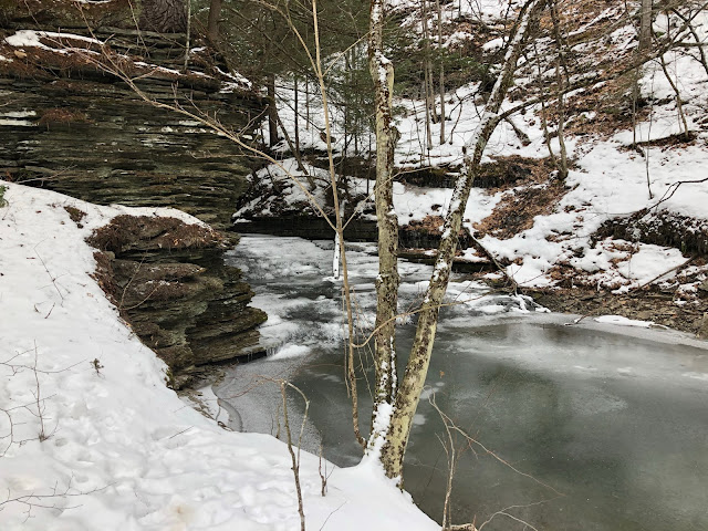
Watkins Glen and most of the drive South from home was virtually snow free but as we gained just a little bit of altitude driving out of the basin on the South East corner of Seneca Lake the snow became more noticeable and more consistent. The roads were fine but we parked on packed snow and the majority of the trail was lightly traveled snow with some icy spots. The first mile or mile and a half of the trail goes in the downstream direction along a gorgeous rolling stream with interesting limestone outcroppings on the hill side of the trail. Eventually the trail reaches a bridge where another stream comes down a narrow inaccessible canyon and tees into the larger creek the trail parallels. From here on the trail starts gaining elevation, modestly but persistently at first and in some stretches quite steeply. There was one stretch of maybe 100 or 150 feet (not vertically just as the trail goes) where we both felt like we were very carefully on the edge of our hiking shoes ability to maintain traction on the steep uphill snowy slope. The uphill goes on and on, probably for over 2 miles without any appreciable break before working its way along some ridges above that 2nd creek that goes in under the bridge at the bottom of the hill. It isn't a straight path so it isn't like you can look back and see the bridge behind you but the trail curves its way around as it goes uphill. The flatter parts after the big climb are prone to standing water and were very muddy last time we did this trail. Today that was all crunchy and strange spiky ice fingers growing out of the frozen mud below. There are also a lot of eroded areas around tree roots which makes this mile or so my least favorite part of this trail because there are lots of obstacles to navigate around. Eventually we came to the junction of the Finger Lakes Trail (we were on some other tail until that point) and then there was a very snowy piece of hilly dirt road to walk before once again entering a forested area and doing another climb. While none of the climbs on this trail are anything close to epic, the last one after the road walk really seemed to go on forever. It wasn't super steep, it wasn't particularly interesting, it was just particularly long. Still, the very worst parts of this entire hike are better than the best parts of some other hikes and the amount of scenery, isolation, geology and water along this trail is amazing. Last time I took dozens of photos. Today I tried to restrain myself and am only going to post some of them but there really is a lot to take in.
Brian Pics:
Chris pics:


Comments
Post a Comment