Sunday June 14 - Seneca State Forest - Near Sonyea NY (40 miles south of Rochester) - 4.1 miles about 300 feet elevation gain
This was an interesting hike. After weeks and weeks of challenging hikes every weekend we wanted something more modest for our Sunday. The weather was perfect and I made French Toast at home before we headed out. The Alltrails app provides your navigation app GPS coordinates but there isn't really a good way to communicate actual directions to the trailheads. This one is JUST South of a State Penitentiary and a lot of navigation systems/programs think the prison's road system pops through to the State Forest. If it ever did, it isn't allowed to pass through it now. So we had to be a little creative and drive a 5 mile loop around from the north side of the prison around some county roads to approach from the south. There was only 1 vehicle at the end of the nearly 3 mile long bumpy gravel road and we thought we'd have a super quiet experience but by the time we were heading back from the just over 2 miles we walked in one way, there were about 10 people heading the other way.
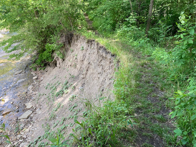
The trail starts off ambling through the woods along a bluff. Then the trail goes steeply down hill to be near the water. There are multiple small water falls and cascades along the trail as it runs along the creek. As is the case with a 4 mile hike these days, the end came too quickly and in no time it seemed like we were back to the car.
Brian got a new phone this weekend and these above are the first pics from it.


Comments
Post a Comment